Chakwenga Headwaters and the Nyabutaye Peat Bog: image 1

Image: Previous image | Next image | Back to the location page
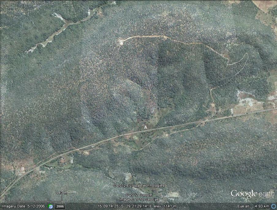
The Chakwenga Headwaters. The Chakwenga arises in the dambo at the bottom left of the photograph (B), and flows eastward before turning south towards its confluence with the Zambezi. A winding track leads to transmitting towers at the crest of the hill. The Nyabutaye (A) is a short tributary of the Chakwenga.

Photographer :MG Bingham
Date: 5 Dec 2006
Description: The Chakwenga Headwaters. The Chakwenga arises in the dambo at the bottom left of the photograph (B), and flows eastward before turning south towards its confluence with the Zambezi. A winding track leads to transmitting towers at the crest of the hill. The Nyabutaye (A) is a short tributary of the Chakwenga.
Altitude: 1141
Grid reference:
Latitude and longitude: -15.153960 29.358090

Copyright: The DRC flora team, 2024-25

The DRC flora team (2025). Flora of the Democratic Republic of the Congo: Location details: individual images: Chakwenga Headwaters and the Nyabutaye Peat Bog image1.
https://www.drcongoflora.com/speciesdata/location-image.php?location_id=171&image_id=1, retrieved 21 August 2025

Site software last modified: 25 June 2025 6:55pm (GMT +2)
Terms of use